Introduction to Hurricane Milton
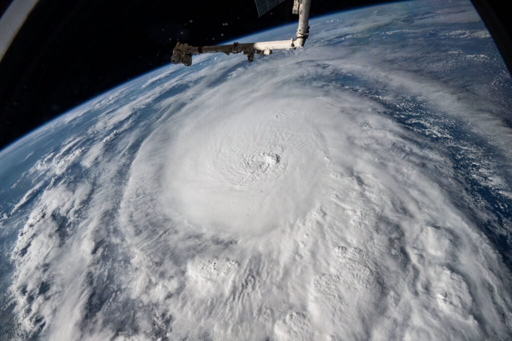
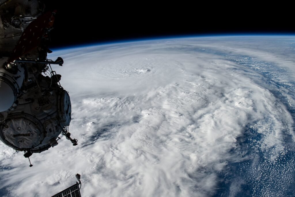
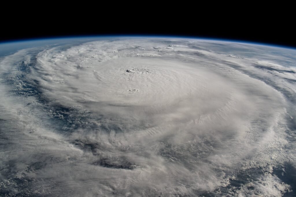
On October 8, 2024, Hurricane Milton was identified as a powerful Category 5 storm, making its presence felt in the Gulf of Mexico, particularly off the coast of the Yucatan Peninsula. This remarkable weather phenomenon was captured and showcased from the International Space Station, offering a unique perspective on the scale and impact of such hurricanes.
The Formation of a Category 5 Storm
Hurricanes are classified based on their wind speeds, and a Category 5 hurricane is characterized by sustained winds exceeding 157 mph. Hurricane Milton’s formation was closely monitored, as it gathered strength and energy from the warm waters of the Gulf. Meteorologists noted the storm’s rapid intensification, which is a common behavior for hurricanes in this region.
Visuals from the International Space Station
The images captured from space provide a dramatic view of Hurricane Milton, illustrating its swirling cloud patterns and immense size. The satellite imagery not only serves a scientific purpose but also raises public awareness of the power of nature and the critical need for preparedness during hurricane season. As discussions about climate change continue, such images are essential in understanding the changing dynamics of storm patterns.
In conclusion, Hurricane Milton serves as a stark reminder of nature’s power, as seen through the lens of space technology. By sharing these visuals, we can educate communities and encourage proactive measures to mitigate the impact of such devastating storms.